


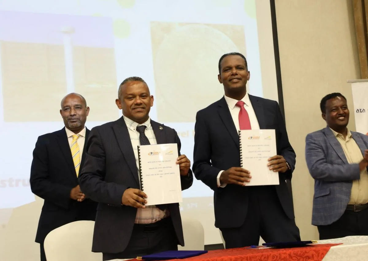
The Space Science and Geospatial Institute has partnered with National Airways, a private airline based in Addis Ababa, to capture aerial images using local planes, saving millions of birr annually.
The agreement, signed last week by Abdisa Yilma, Director General of the Space Science and Geospatial Institute, and Captain Abera Lemi, CEO of National Airways, will replace the previous reliance on rented planes from abroad.
Aerial photography, one of the earliest and most cost-effective forms of remote sensing, remains widely used. Abdisa noted that the cameras installed on the planes produce high-quality images for various purposes. He added that the previous method required foreign currency, creating challenges for the office. The new agreement is a significant step toward resolving this issue.
Kemahu Abraham, Lead Executive of Aerial Surveying at the Institute, stated that Ethiopia’s aerial surveying operations cost between 100 and 150 million birr annually. Previously, the Institute rented planes from abroad, costing $2200 to $2500 per hour, depending on resolution, accuracy level, and area requirements.
The new agreement is expected to save $250,000 to $350,000 per year. “We can collect two types of data using two planes rented from National Airways,” said Kemahu.

No Comment Found.